By Phil Brown
Dix Mountain is a slide climber’s playground. In all, it boasts a dozen slides worthy of climbing. The problem is choosing one.
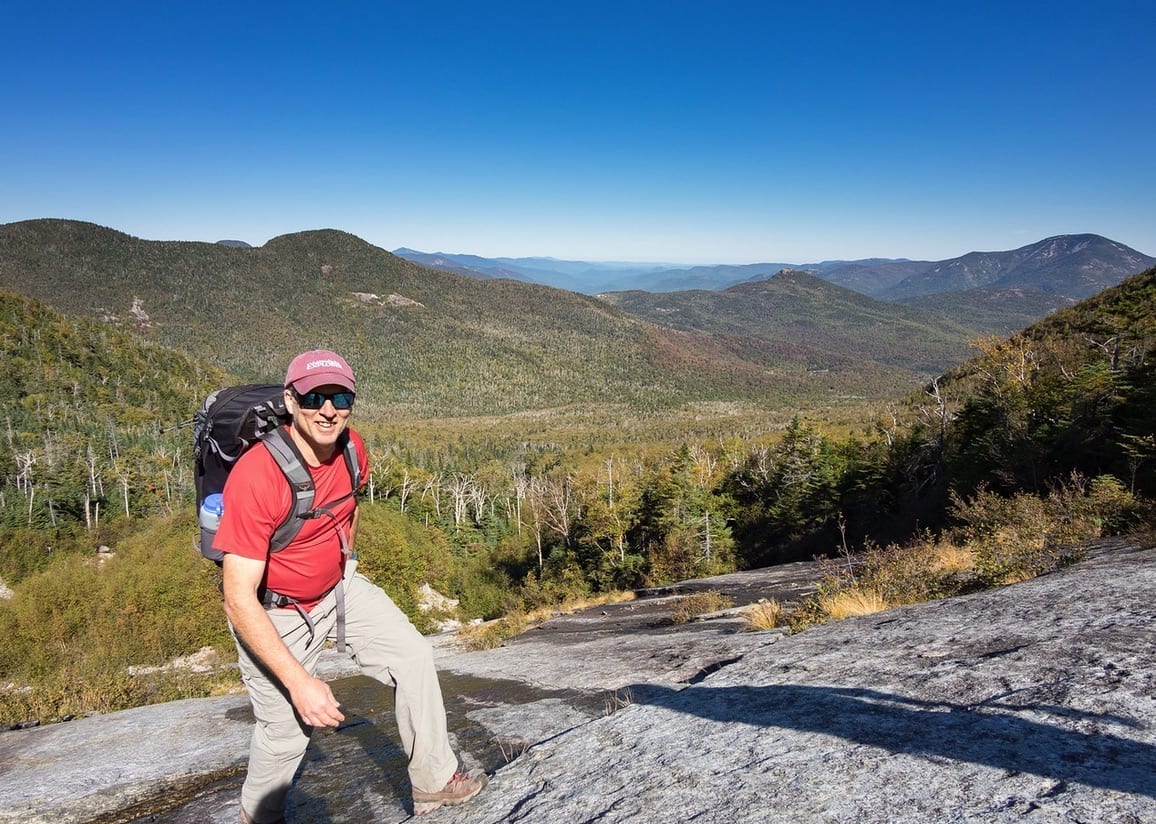
R.L. and Karen Stolz, the owners of Alpine Adventures in Keene, recommend Index Finger, one of the longest of the Finger Slides on the north face. Last fall, my girlfriend Carol and I got up early in the morning to hike the five and a half miles to the base of the slide, where we met up with the Stolzes and their crazy dog, Terra.
The Stolzes were shooting photos for a book they’re calling Classic Adirondack Climbs, which remains a work in progress. We left the hiking trail and started up the slide about 10:40 a.m., stopping often to admire the ever-widening vista. “This is still a worthwhile slide even though much has grown in,” R.L. observed on the way up.
The Adirondack Explorer thanks its advertising partners. Become one of them.
Landslides triggered by torrential rains created the Finger Slides in 1993. R.L. recalled seeing them from Keene for the first time and remarking to a client, “Look, somebody put a ski area on Dix.” In fact, backcountry enthusiasts do ski the slides in winter.
The Index is fairly steep, not for the casual hiker. Though it’s only a half-mile from the trail to the top of the slide, the ascent took us more than two hours. We gained 1,200 feet in elevation.
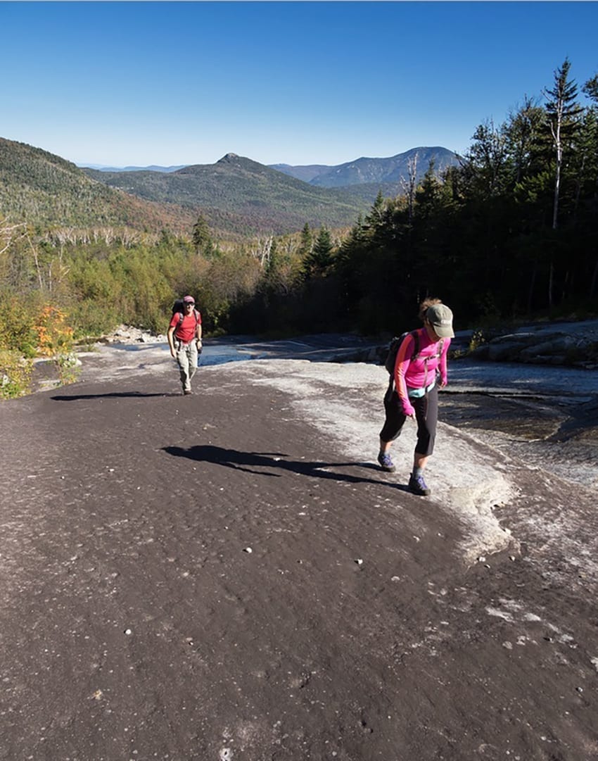
After lunch, the Stolzes, their work done, headed back down and out of the woods. Carol and I (joined by an eager Terra until her owners called her back) followed a faint herd path toward the summit of Dix. Along the way, we clambered over bedrock outcrops with spectacular panoramas that included many of the High Peaks as well as Lake Champlain and the Green Mountains. After forty minutes, we emerged onto the hiking trail just below the summit.
Shortly, we were enjoying more gorgeous panoramas—as were a few dozen other hikers lolling on the top of Dix. In contrast, we had seen no one outside our party on the slide or on the herd path.
The Adirondack Explorer thanks its advertising partners. Become one of them.
At 2:30 p.m., we started the 6.8-mile journey back to the car (the initial descent is steep and rocky). We didn’t reach the trailhead until after dark. This wasn’t a bad thing because we got to see a huge yellow moon rising over Round Pond, a fitting end to a beautiful but arduous day in the wilderness.
DIRECTIONS: The parking area for the Round Pond trailhead is on the west side of NY 73, 3.1 miles north of the intersection of NY 73 and NY 9 in Underwood. If coming from Keene, the trailhead is on the right 1.1 mile south of the Chapel Pond parking area.

Leave a Reply